866-412-1270
866-283-7796
The topographic map is one of the most widely used maps. One can distinguish it from other maps, by observing the use of contour lines to portray the nature and outline of the land. These maps delineate the three-dimensional details of the topography on a two-dimensional surface.
Topographic maps are known to depict both manmade and natural features. They outline various geographical features like mountains, valleys, plains and vegetation. They also help in recognizing chief manmade features like roads, transmission lines and buildings.
Topographic maps provide an extensive information base for experts and layman alike. They are used majorly for engineering, energy research, natural resource preservation, commercial and residential development and for various outdoor activities.
Topographic mapping is a vital resource for a wide range of applications including:
| emergency and disaster response, | |
| national defense, | |
| asset and facilities management, | |
| demographics analysis, | |
| environmental monitoring, | |
| mineral and energy exploration, | |
| fleet and logistics management, | |
| graphic presentation of thematic data, | |
| infrastructure planning, | |
| other map production, | |
| market analysis, navigation and positioning, | |
| route planning, | |
| risk assessment, | |
| surveillance, and | |
| Teaching |
Topographic mapping is used to depict natural and man made topographies on a single map such as vegetation, roads, valleys, buildings, plains or transmission lines. These maps are used by construction, architectural or other related companies to study about the land and its various topographies before the actual construction starts.
Topographic mapping solves various purposes for the professionals, such as:
| For simple teaching to geography students | |
| By a country’s defense forces | |
| For monitoring the environment | |
| Exploration for minerals or potential energy resources | |
| Planning before constructing a route | |
| For analysing the demographics of an area | |
| For helping in market analysis and movement of goods | |
| For effectively depicting the real area with precision | |
| For planning before starting a construction project | |
| Topographic mapping for emergency situations |
Our precise GIS service offers you an effective topographic mapping solution that helps you with various problems through 3D design. To get started please upload your files to get a quote for this project or contact us.
|
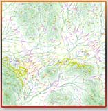
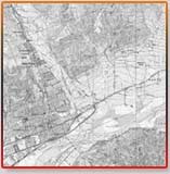
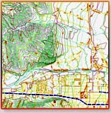
Topographic Mapping (Portfolio Samples)
|
|
||||||
|
|
||||||
|
||||||